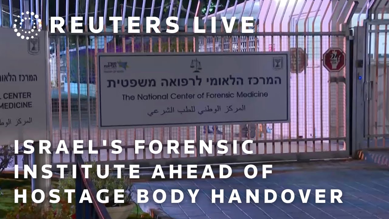
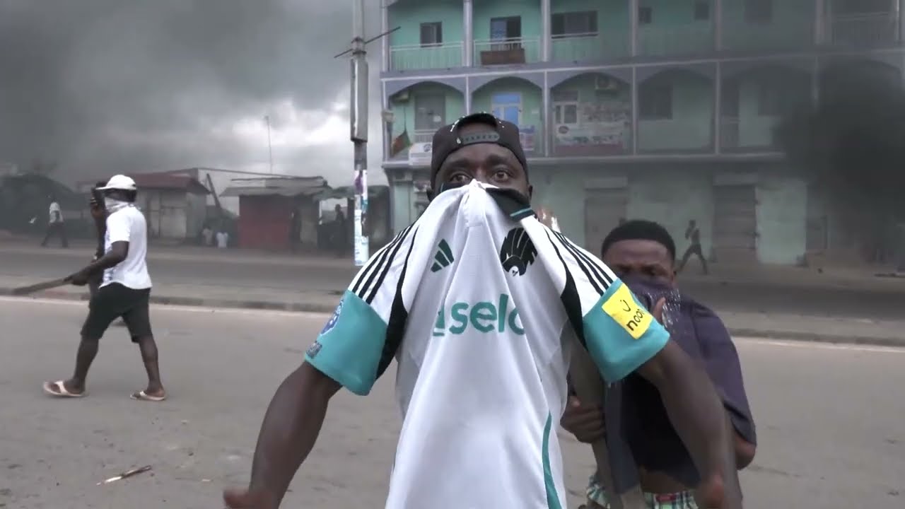
The Israeli military has begun marking the Yellow Line in Gaza as part of its withdrawal plan under a US-brokered ceasefire agreement. This marks the first phase of a three-stage retreat, affecting densely populated areas such as Shujayea, Tuffah, and Zeitoun in Gaza City, as well as Beit Lahiya and Beit Hanoon in the north. In the south, significant parts of Khan Younis and nearly all of Rafah fall within this demarcation. The Yellow Line cuts Palestinians off from vital agricultural land and water resources, while Israel retains control of all crossings, including the Rafah border with Egypt. Aid agencies have raised concerns over the incomplete or unclear markings, leaving many residents reliant on online maps to view the border's placement. Activists warn that the demarcation essentially creates a "kill zone," as multiple reports have emerged of Israeli troops firing at individuals approaching or crossing the line despite official assurances that action will only be taken under security threats. Al Jazeera’s Julide Ayger explains. Subscribe to our channel: http://bit.ly/AJSubscribe Follow us on X: https://twitter.com/AJEnglish Find us on Facebook: https://www.facebook.com/aljazeera Check our website: http://www.aljazeera.com/ Check out our Instagram page: https://www.instagram.com/aljazeeraenglish/ Download AJE Mobile App: https://aje.io/AJEMobile #Palestine #Gaza #IsraelGazaWar #GazaYellowLine #GazaWar #GazaCity #GazaCeasefire #NorthernGaza #GazaDestruction #GazaDisplacement #AlJazeeraEnglish
Israel’s ‘yellow line’ explained: What it means for Gaza’s future
 3 std vor
The Israeli military has begun marking the Yellow Line in Gaza as part of its withdrawal plan under a US-brokered ceasefire agreement. This marks the first phase of a three-stage retreat, affecting densely populated areas such as Shujayea, Tuffah, and Zeitoun in Gaza City, as well as Beit Lahiya and Beit Hanoon in the north. In the south, significant parts of Khan Younis and nearly all of Rafah fall within this demarcation. The Yellow Line cuts Palestinians off from vital agricultural land and water resources, while Israel retains control of all crossings, including the Rafah border with Egypt. Aid agencies have raised concerns over the incomplete or unclear markings, leaving many residents reliant on online maps to view the border's placement. Activists warn that the demarcation essentially creates a "kill zone," as multiple reports have emerged of Israeli troops firing at individuals approaching or crossing the line despite official assurances that action will only be taken under security threats. Al Jazeera’s Julide Ayger explains. Subscribe to our channel: http://bit.ly/AJSubscribe Follow us on X: https://twitter.com/AJEnglish Find us on Facebook: https://www.facebook.com/aljazeera Check our website: http://www.aljazeera.com/ Check out our Instagram page: https://www.instagram.com/aljazeeraenglish/ Download AJE Mobile App: https://aje.io/AJEMobile #Palestine #Gaza #IsraelGazaWar #GazaYellowLine #GazaWar #GazaCity #GazaCeasefire #NorthernGaza #GazaDestruction #GazaDisplacement #AlJazeeraEnglish